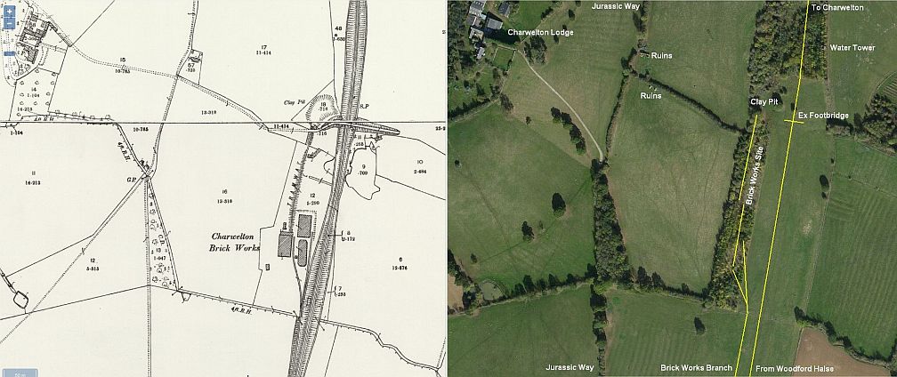
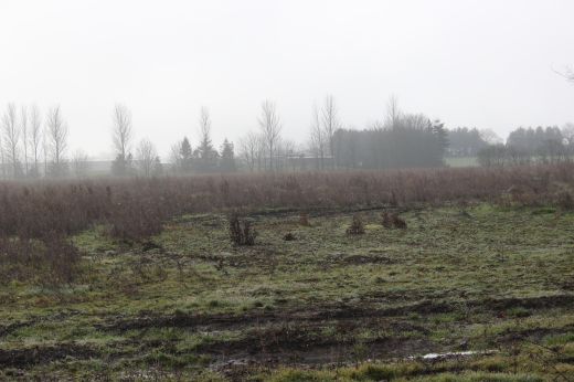
This map shows the area half way between Woodford Loco Depot and the the Jurassic Way footbridge where I was heading to. (NSL Maps)
WOODFORD GOODS SIDINGS & BRICK WORKS (Site)
(22nd February 2019)
Having an unusual sunny and warm period in February
2019 I decided to revisit the Woodford Halse area while the
overgrowth
was at its lowest and possibly see a lot more detail than back
in the hight of Summer. I was lucky too in that it was easier to get
onto the Ex WW2 goods yard site and walk a fair bit northwards.
Annoyingly I forgot about the old water tower and stopped short
of getting up to it and as you cant get any further northwards along
the track bed I had to walk back to where I got onto the goods
yard site and walk the Jurassic Way up to the over bridge and
the Charwelton water trough site.
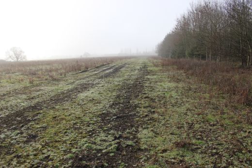
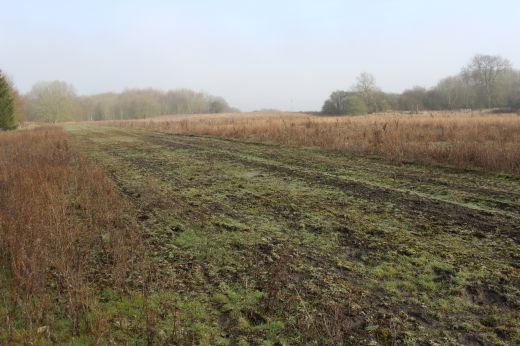
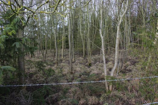
You certainly get the vastness of these once busy goods
sidings. The actual track bed is noted by following the electric
posts that
stand on it but the low embankment has been leveled so that all you
see is flat land all around. The branch that ran to the Brick
works and clay pit ran along the down side of the main line from the
north end of te station Down Goods siding all the up to the
Brick works. There was two tracks within the brick works.
Here are the photos taken between Woodford Halse and up
to the Footbridge and the site of the Water Troughs.
I got over to the
track bed from a farm opening off the Jurassic path, which is
normally gated but was open at this moment.
I had to walk
around the edge of the field to reach the track bed at the site of
the Ex Brick Works.
This map shows the
area half way between Woodford Loco Depot and the the Jurassic
Way footbridge where I was heading to. (NSL Maps)
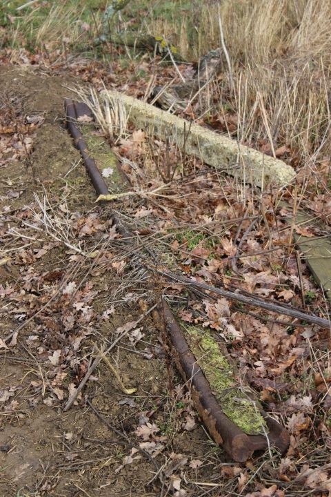
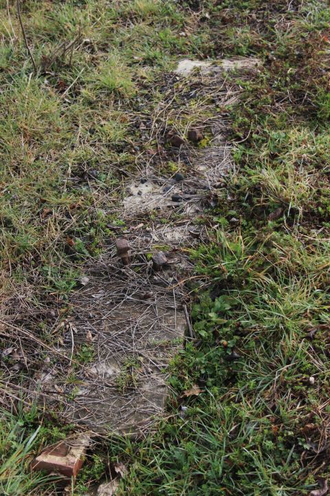
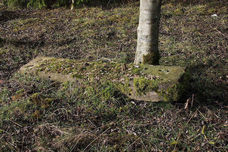
When reaching the
edge of the track bed I found this section of rail on the
ground. As this was on the site of the Brickwork's this may
have been
from the branch rather than of the mainline!
This was probably part of a concrete building that had stood close
by. More are
seen over the walk norwthards.
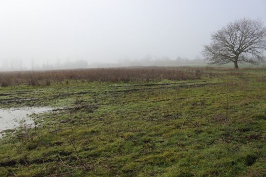
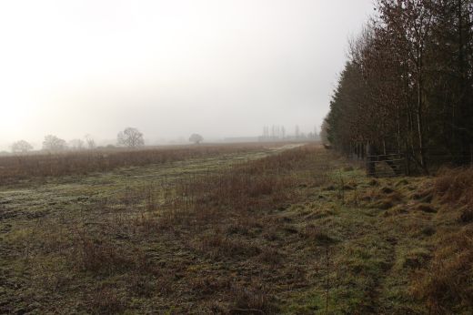
From the site of the Brickwork's site and branch, looking northwards
towards
Charwelton. The mainline was further to the right within the darker
area.
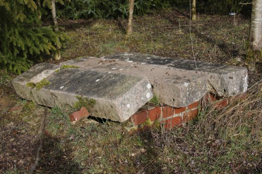
Left: This way-laid me as I thought this was the old water tower and
that it had been demolished. However it is part of the Brick Works
and so put it out of my mind to look
further north beyond the Clay pit site for the tall water tower. I'm
not sure if this was jut a mains building or a tower. It doesn't
show as a tower on the maps.
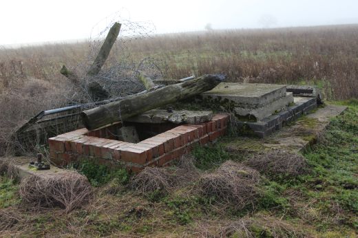
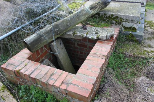
The remains of a water supply at the south end of the brick works
site.
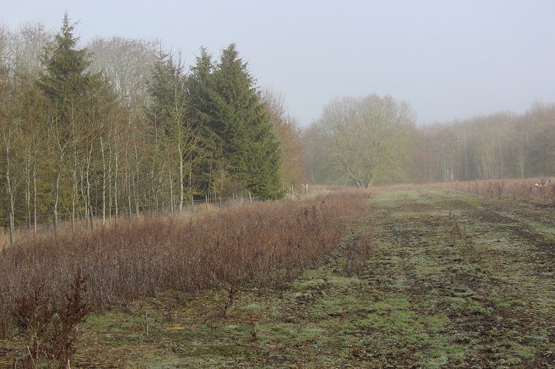
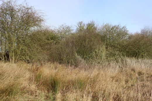
Left: The brick works ran from here following the line of the trees
on the left right up to the Clay Pit site.
Right: from the same spot looking southwards along the line of the
brick works branch towards Woodford
station. The ground was soft and wet for walking. The ground of the
whole of the Goods sidings are rather
black looking which makes me wonder if this is due to the many years
of weed killer spraying and the
ground hasn't recovered fully even after 50 years since
closure.
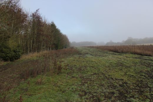
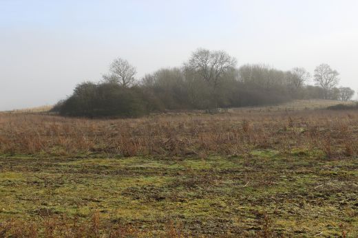
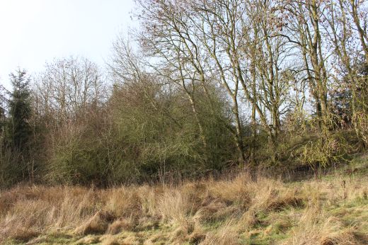
Another view northwards towards the Clay Pit site.The old Water tank
is way off to the right just out of site, within those trees.
This is were I should have tried to get to but went out of my mind
due to mistaking it for the water source site further south.
Another visit to this site seems likely!
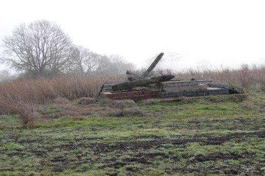
The Brick Work Buildings
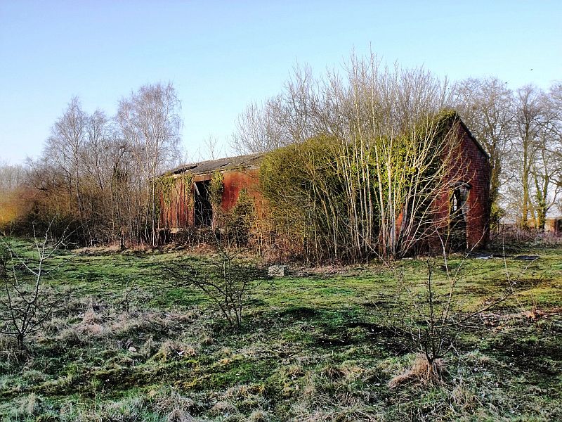
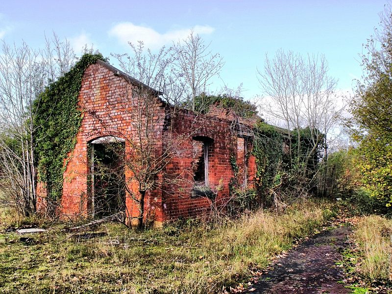
On the right, the
track bed of the siding that wnt to the Sand Pit. (Photographer
Unknown)
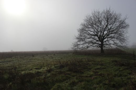
Northwards. The tree at center-right
is the remains of the embankment that has been truncated on both sides
of the railway site and is where a farm access
bridge crossed over the main line.The bridge would have been seen in
the center of the photo on the left.
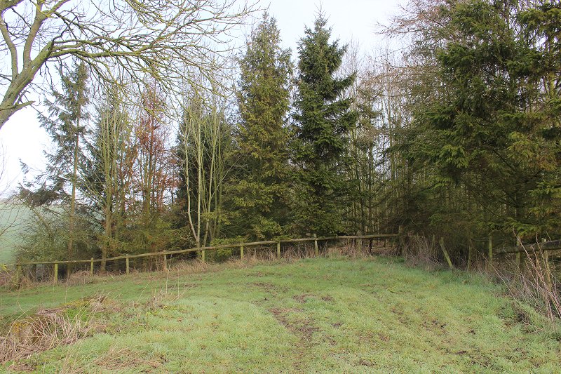
A closer view of the footpath west side embankment.
Right: Standing centrally to the Ex over bridge. Annoyed that I
didn't take a photo directly ahead as this would have
been looking through the over bridge, albeit you can see the scene
in the photo above left.
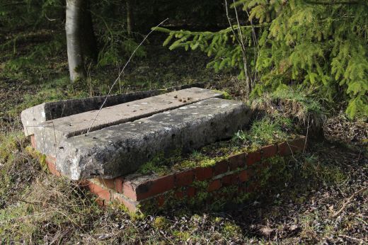
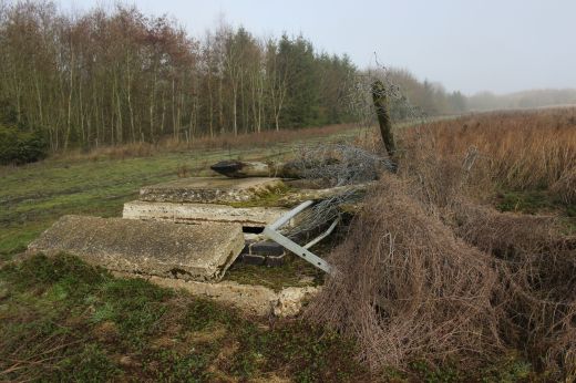
Anther water
supply near the top end of the brickwork's site. It is covered by
sections from a concrete building.
Another block from a
building that had stood here.
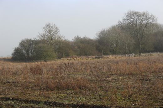
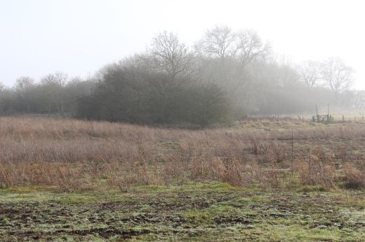
Left: The top end of the
brickworks.
Right: the brick works were withing this now wooded area.
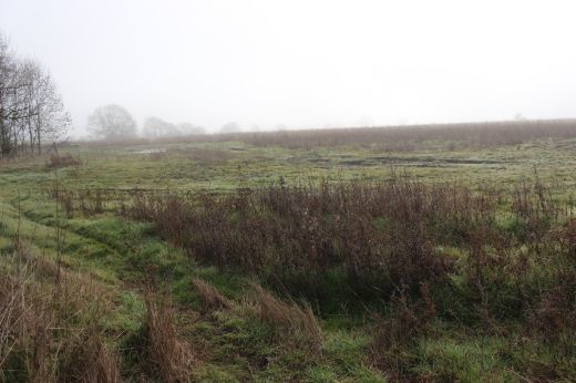
All that remains of the Clay Pits site. There was once a footpath
throufh to the Jurassic Way path but is no more. It lies below a
well ploughed and used field that you
can't cross.
This is on the site of the clay pit. This was as far as I got and
had to turn back to where I joined the track bed from the Jurassic
Way path before walking up to the site of the over bridge where the
Water troughs were. This is also where the way gets
completely blocked all the way up to the water trough site.
==========================================================================
To: Woodford Halse Water Tower (New Feb. 2020)
Back to Woodford loco depot to Charwelton page
Video Youtube
Drone view of Ex WW2 Goods Yard and Brick Works
(Skyline
photography by Neil )
From Woodford Depot site to north end of the WW2 Goods Yard.
Includes the site of the Brick Works that ran within the dark green
stretch;
the Site of Clay pit and where the demolished farm access over bridge
stood
across the full width of the railway. The tall water tank remains is
within the trees
to the right side of the trees blocking the way northwards but is hidden
by the
heavy over growth of trees.
======================================================================================
Other railway walks:
The Dundee & Newtyle Rlwy Walks Opened in 1831 the route had three incline planes. The first was from the terminal station on Ward Street, up the Dundee Law,
where there was also a tunnel. The second was the Balbeuchley incline at Rosemill and the third at Hatton that ran down to Newtyle station. It was also the very first
passenger train service in Scotland. Worked by Horse over the levels until the first steam engine was purchased in 1833. Came under the Caladonian Railway with
it's terminal moved to Dundee West station. Passengers service ended in 1952 and the line totally closed in the mid 60's. The inclines were by-passed in the 1860's.The Cromford & High Peak Incline railway in Derbyshire has been luckier in having much of it's buildings, including an Engine House preserved. This is what could
have happened with the D&N, indeed, should have happened with at least one of the D&N inclines. However, the C&H gives an excellent comparison of what the D&N
would have looked like, albeit the inclines were only single track.Boddam To Ellon Branch (Walks) By Bill Reid. Ex GNSR branch line
Dyce To Fraserburgh and Peterhead Walks. Ex GNSR
Bath To Wellow Rlwy Walks Ex Somerset & Dorset Rlwy.
Contact: reidcrcwdr@talktalk.net
Hosted by www.theatreorgans.com